Blog
Kjugekull - tips and impressions
I’ve been trying to get outside and climb as much as possible. Here are some fun shots, thoughts and tips from my entry-level experience of climbing at Kjugekull. I’ve been to Kjuge quite a few times now, but not so many as to forget some lessons I’ve had as a newcomer. So I thought I’d share some of my insights about climbing there. Maybe you’ll find this useful if you’ve never been.
Kjugekull is quite pretty
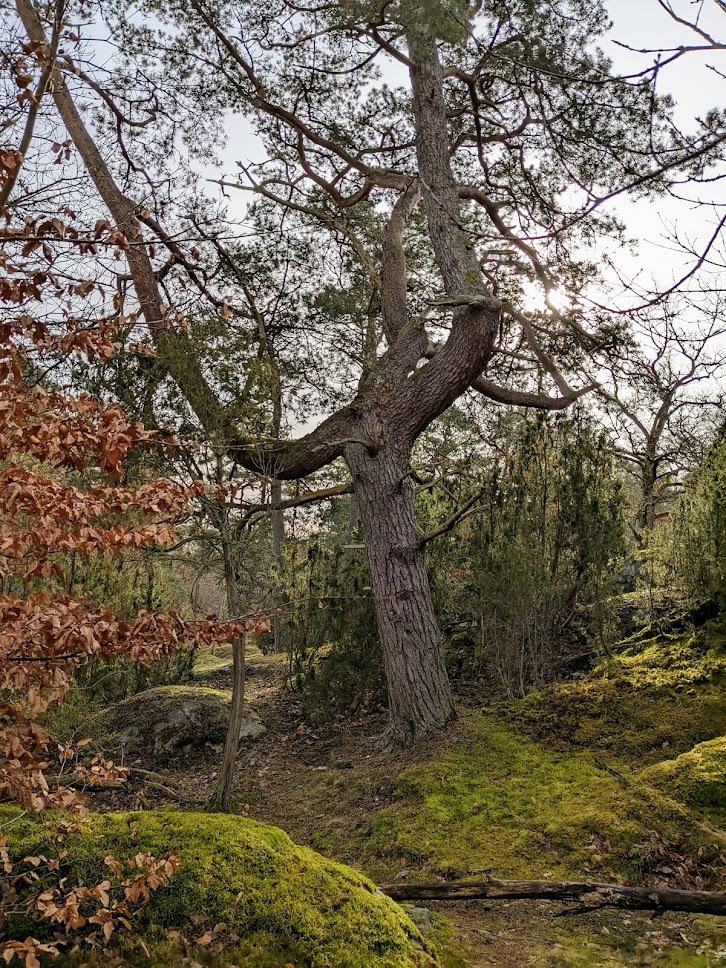
Photo above is the view from an easy warm-up climb called Testpilot. I took this picture since I was overtaken by a feeling that the rocky, mossy landscape transported me into a fairytale forest.
Even through winter and spring, the forest has an autumn-ish vibe. Lots of browned leaves stay on trees and on the ground. Cold temperatures prevent their breakdown. And the mossy carpeting of the forest stays green year-round. As a result, the place feels a bit out of time. If not for the sheer density of boulders at Kjuge, I would recommend you simply take a long stroll through the area.
Exploration
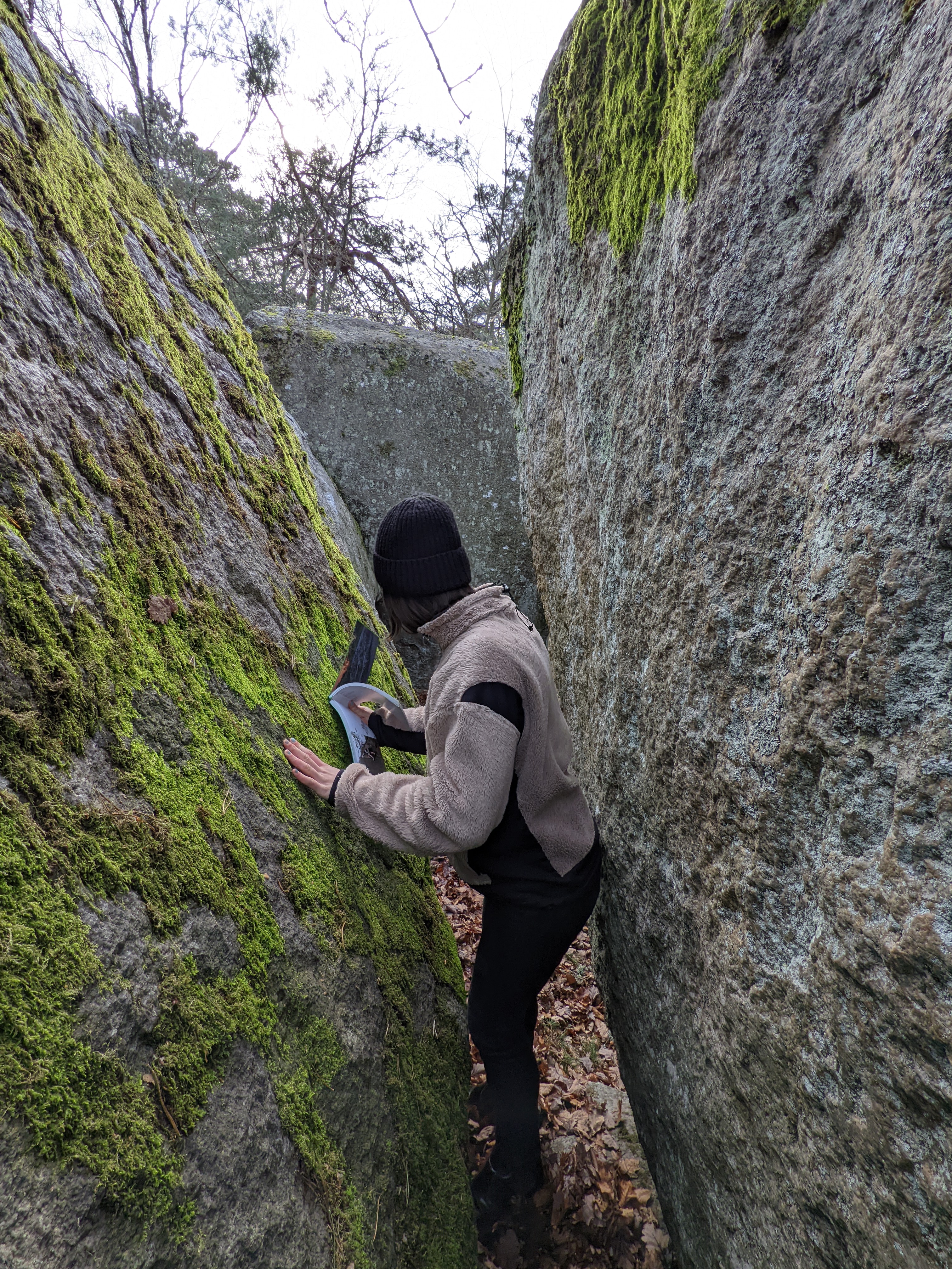
With much over 1300 varied boulders recorded at Kjugekull (see online or the guidebook), the density of climbs is astounding. Wherever you turn, whichever nook and cranny you explore, there is another spot to climb.
A few tips about the area
Accessibility
First and foremost, before heading off to Kjuge (or to any other crag in Sweden), please check the access webpage for some environmental rules and considerations whilst you are there.
Kjuge is a relatively accessible climbing destination. These are the most preferred methods of getting there:
- Car - Follow the E22 highway running through Skåne and you’ll get there. Here is the parking spot.
- Train + Bike - Put a crashpad on your back, bring a bike, take the train to the village of Fjälkinge and cycle to Kjugekull, it is about 4km away.
Once you get to the parking lot, boulders are less than 400 meters away! There is barely any approach left from there.
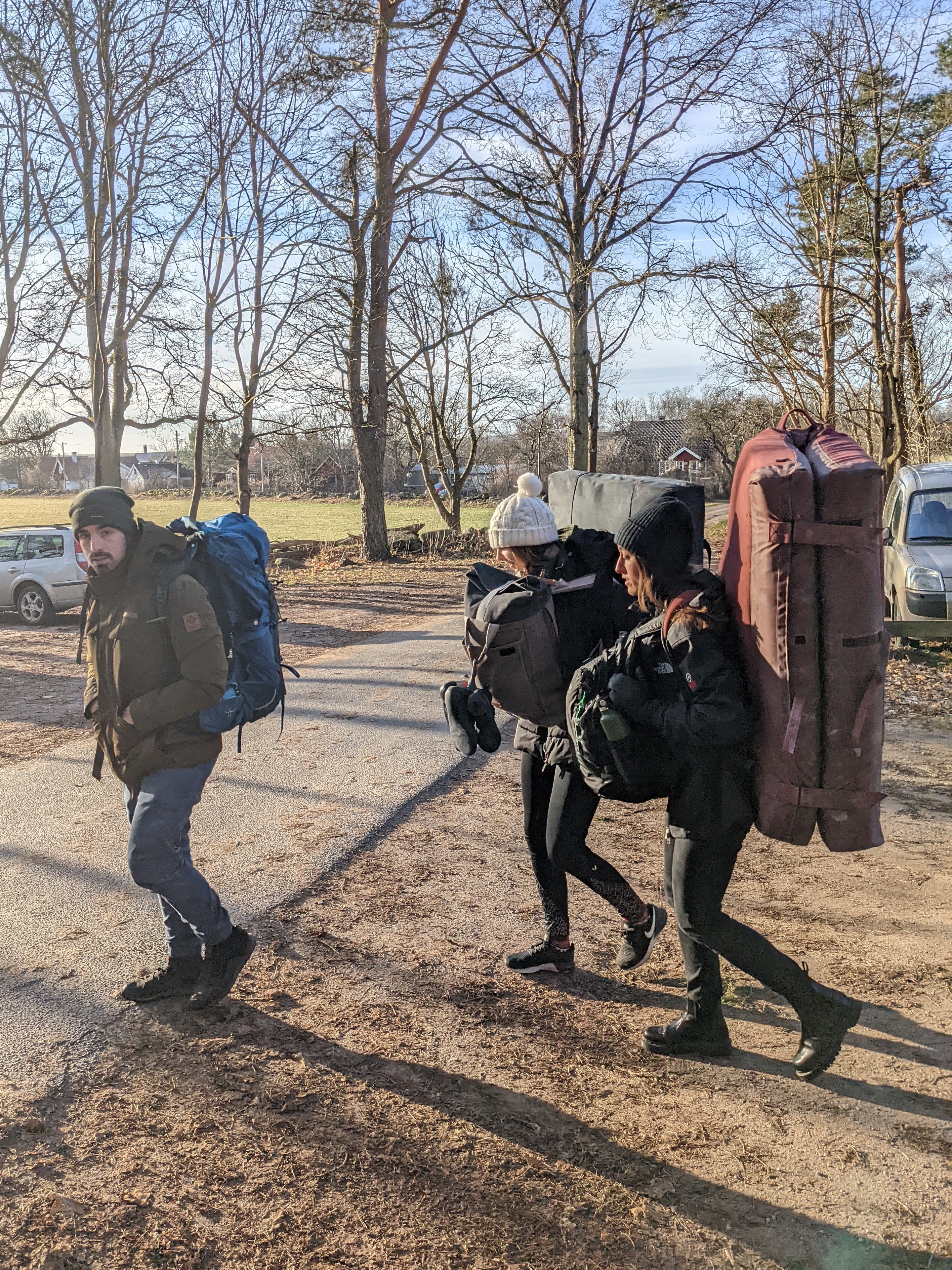
There is no need for hiking gear. The approach is quite mellow. I usually go in my Vans sneakers. Although some nicer gear helps.
Pro tip: There is a toilet in the central area a bit away from the parking lot, but do bring some toilet paper.
Some climbs are quite sandbagged
A fact of life I’ve learned quite quickly about Kjuge is that many boulders are very much sandbagged. This means that the climb is a good deal harder/trickier than the stated grade.
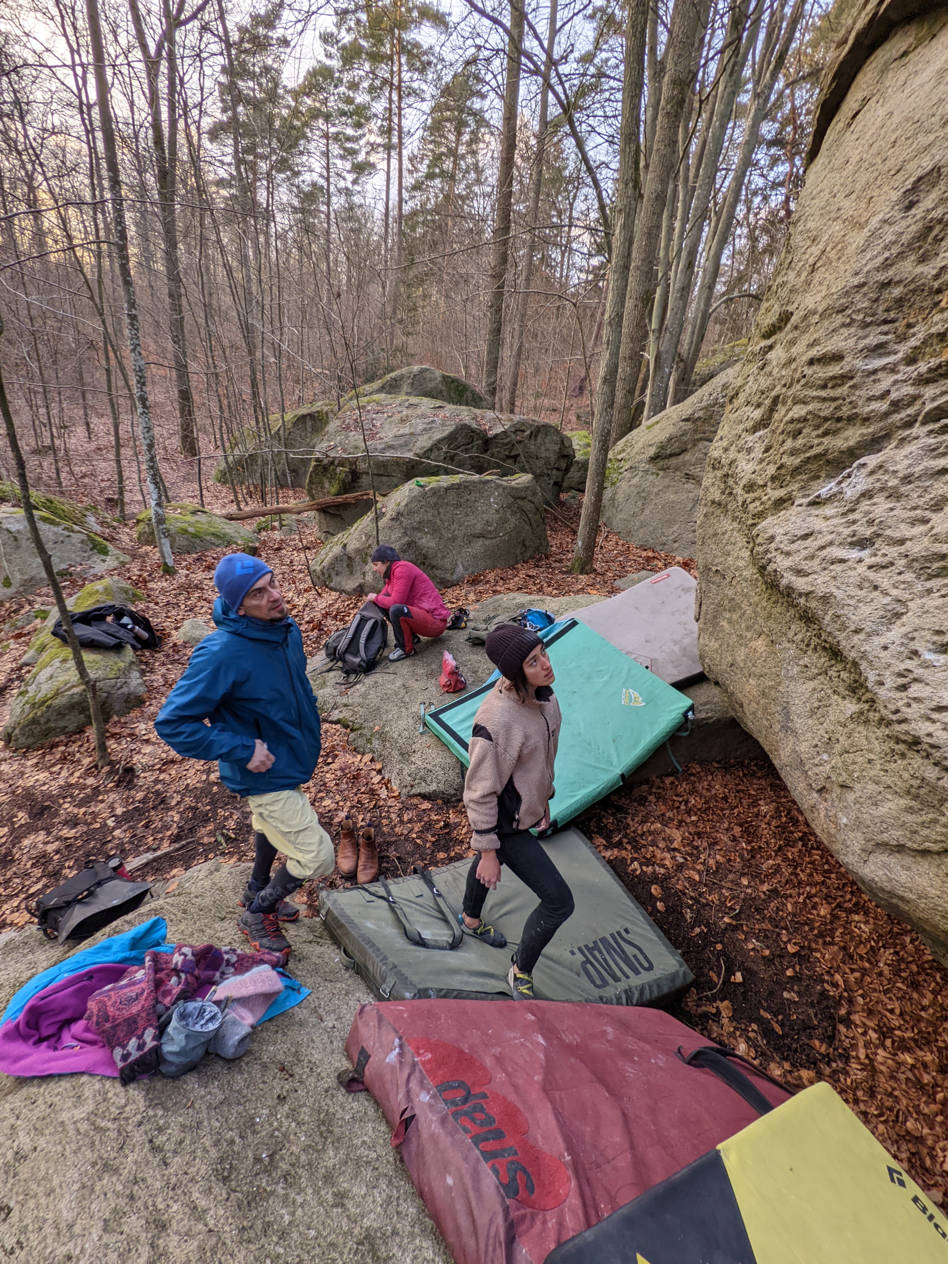
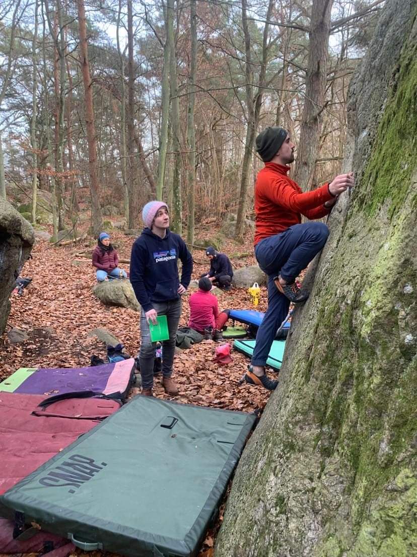
In the picture above you can see my climbing buddies trying to figure out Schweiserosten - probably one of the trickiest (for me) grade 5 climbs at Kjuge. It is a humbling experience to get completely shut down on a measly 5 after having just easily climbed a 6B. The style of climbing at Kjuge is varied and peculiar.
Part of the trickines comes from delicate footwork required on even the easiest of boulders. It really helps to bring a stiff AND soft pair of shoes.
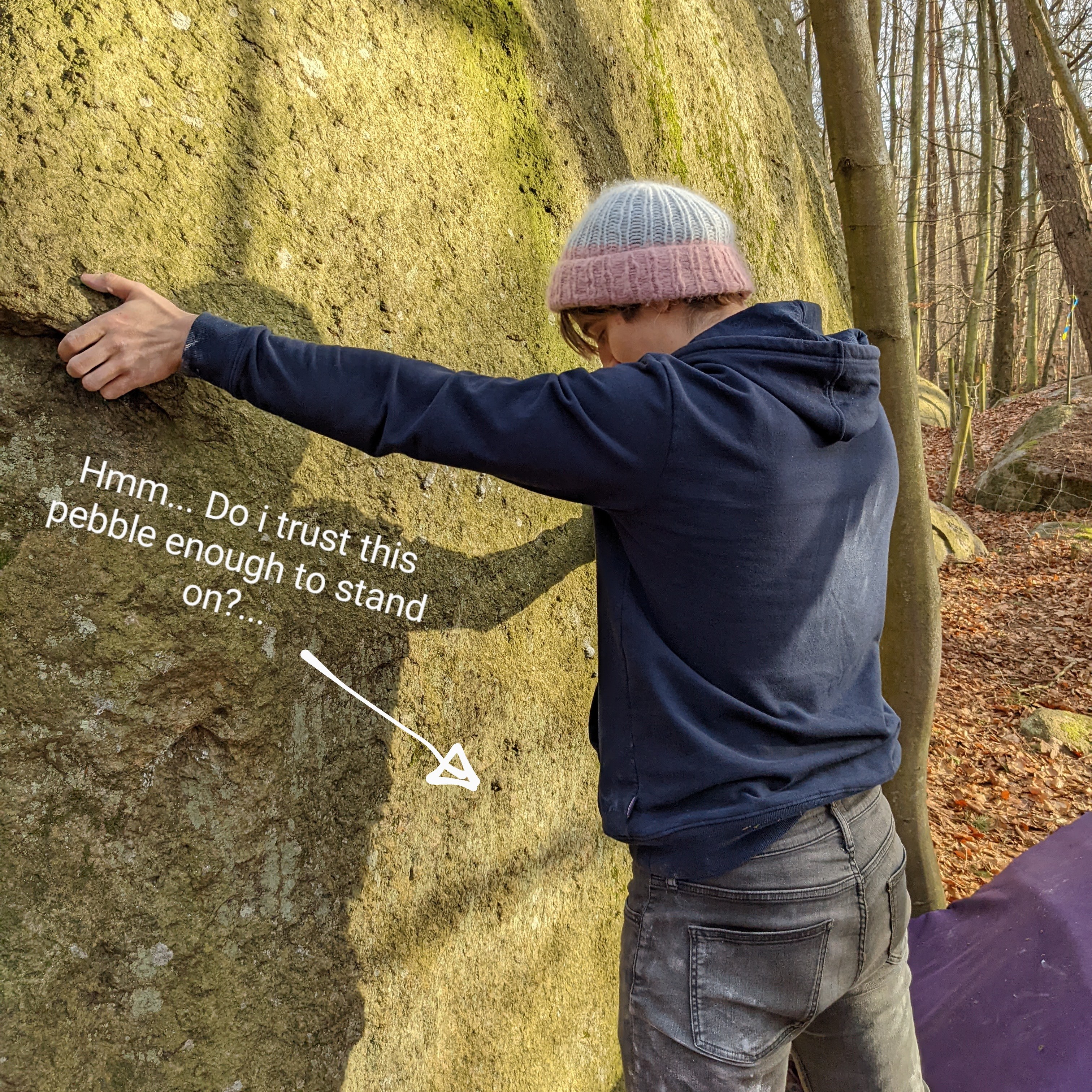
A stiffer shoe will shine when you need to stand on tiny crystals or pebbles. These are the cornerstone of Kjuge climbing. However, sometimes you get no obvious footholds and smearing on a sketchy slab will be your best option.
Down-climbing
Once you are on top of a sketchy slab, you might find that getting down is even harder. Getting stuck on a tall rock with no easy way down is not fun, and a real possibility at Kjugekull. Always scout out your down-climbing route before you set off to climb something.
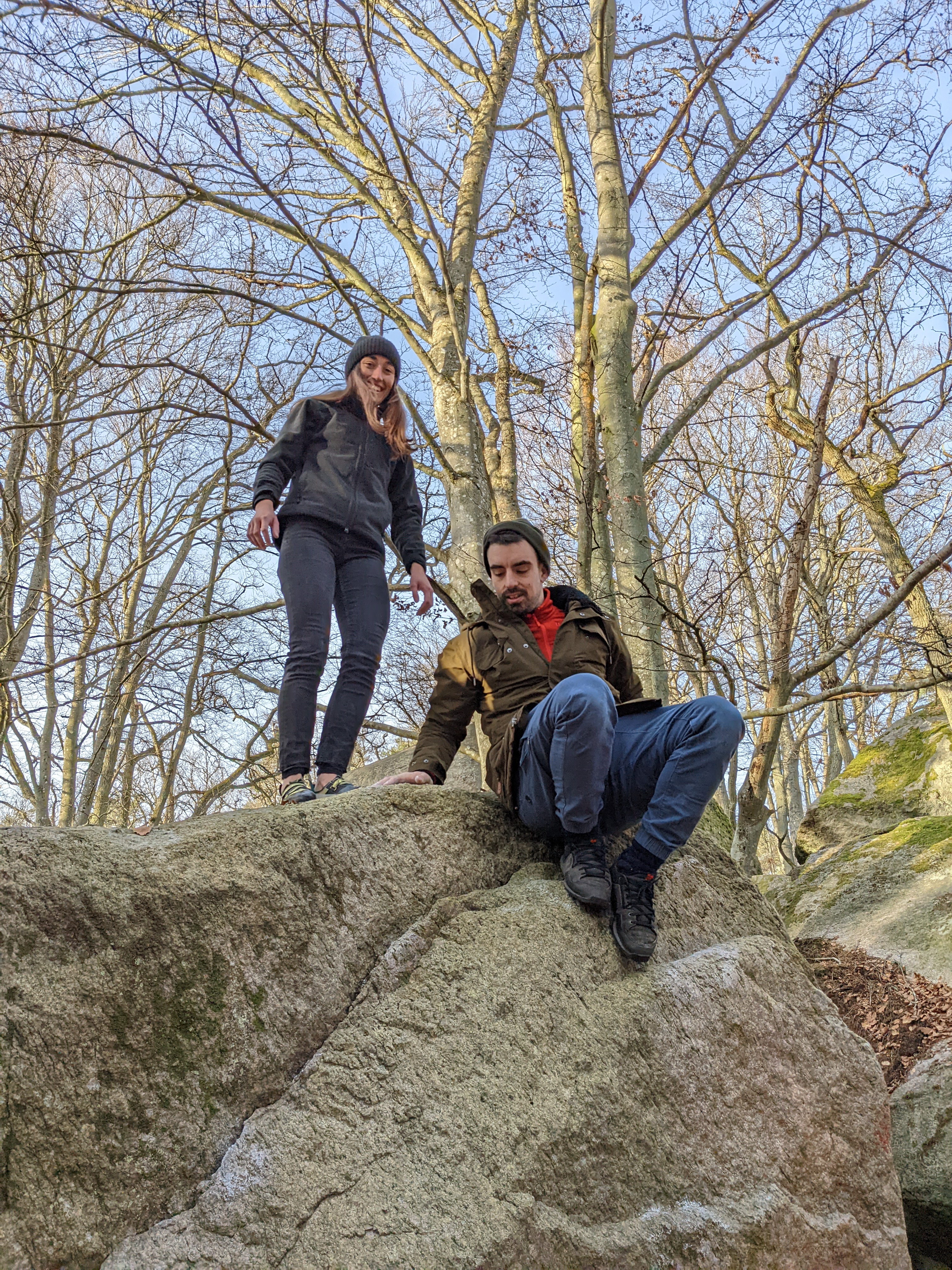
Most times, there should be a dead-ish three sprouting right by the boulder to assist your down-climb. However, I myself have once gotten a bit stuck after climbing a simple warm-up boulder.
Warm-up
Bring a portable hang-board. The aforementioned dead trees right by your boulders are a great placement for it. The rock is quite sharp, you might not want to climb it for warm-up.
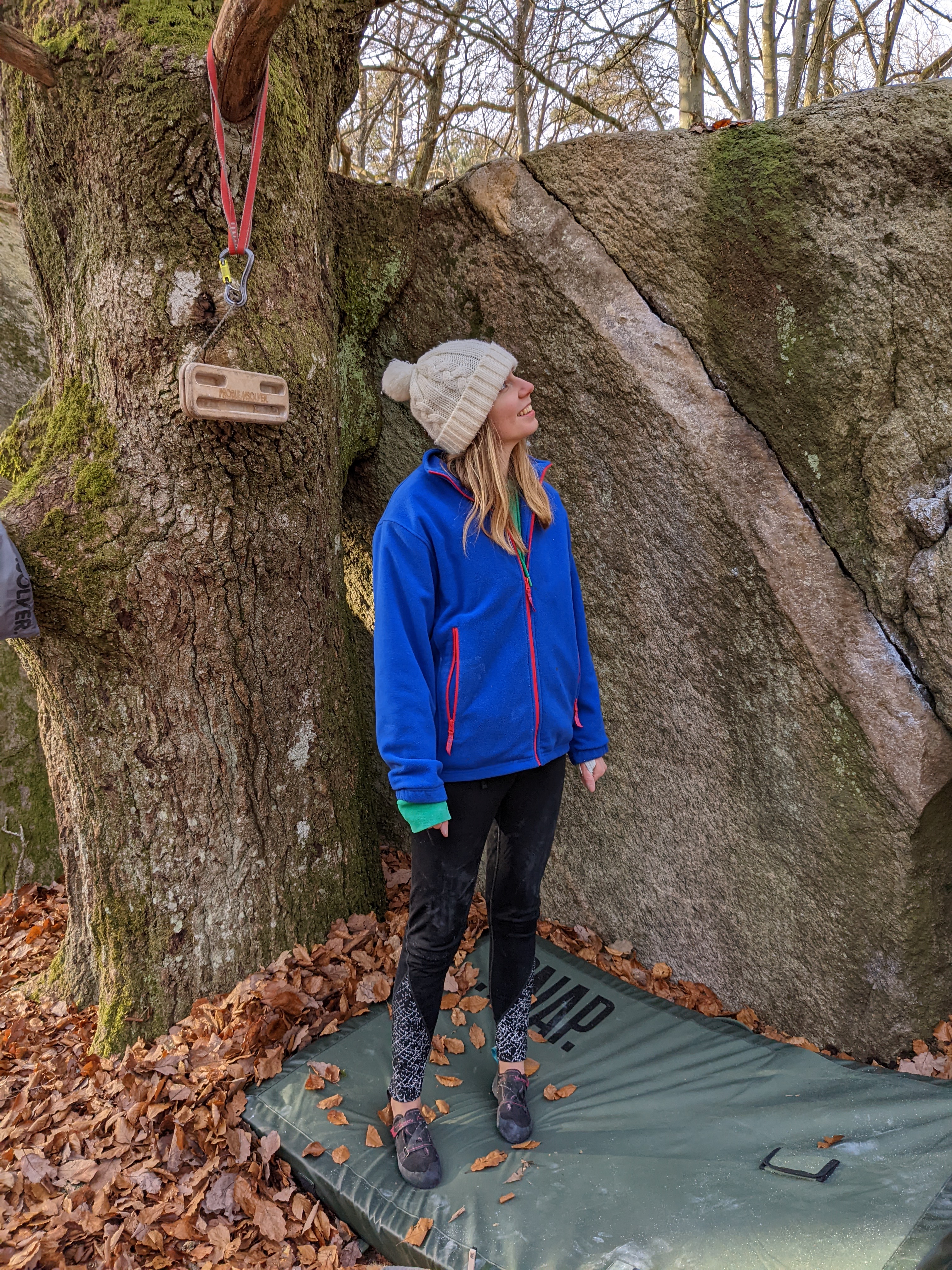
The guidebook conveniently illustrates all trees present around the boulders you would like to try.
Maps and Guidebook
Speaking of the guidebook, while the illustration of the boulders and the surrounding trees are very detailed, there is no large detailed topographical map of the area. The only included overview map of the area is the following:
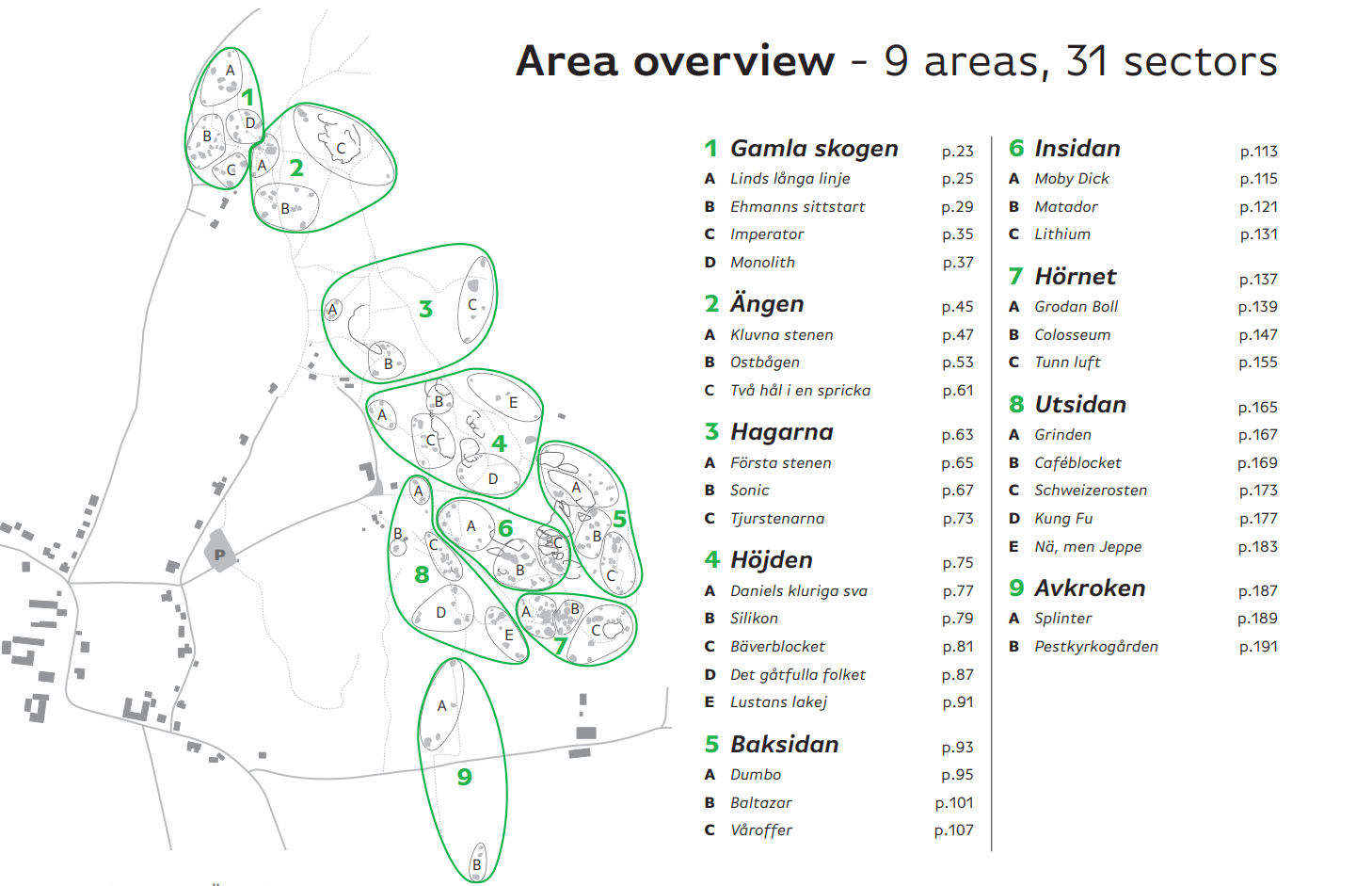
As you can see, it is not very detailed. (You can find a free and higher resolution picture by following the guidebook link.)
If you are at Kjuge for the first few times, and are trying to navigate towards a specific sector - expect to get slightly lost. Luckily, everything is so close together that getting actually lost is impossible, And 9 times out of 10, there are friendly climbers already there that can point you in the right direction.
However, if asking for direction is not an option, you can utilize the coordinates listed listed on the top right corner of each page of the guidebook. Type them into Google Maps, and you should see whether you are nearing it. Otherwise, just use 27crags.